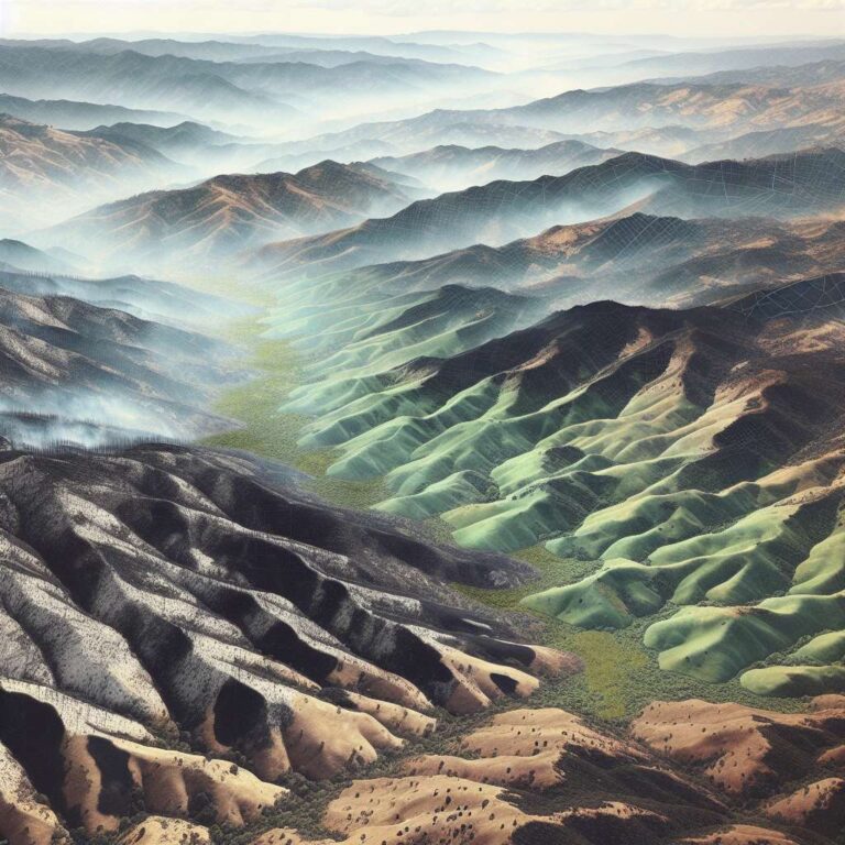
The Eaton and Palisades wildfires burned across Los Angeles County in January 2025, raged for 24 days, killed 29 people, destroyed 16,000 structures and consumed more than 55,000 acres. The article notes that estimated monetary losses are Not stated. Beyond immediate human and property tolls, the fires physically transformed terrain and vegetation, changes that researchers are now measuring with lidar to better understand the full scale of disaster impacts.
Lidar, or light detection and ranging, measures the time it takes laser pulses to bounce off surfaces and return, producing high-resolution topographic maps from airborne platforms including planes and drones. Scientists compare before-and-after lidar snapshots in a process called differencing to reveal subtle changes in elevation and geometry. Falko Kuester, an engineering professor at the University of California, San Diego and co-director of ALERTCalifornia, describes these snapshots as a way to show what changed over time, including constructed features that were removed, vegetation lost, or new material added.
Shortly after the fires were contained in late January 2025, ALERTCalifornia sponsored new lidar flights over the burn areas. NV5 conducted the scans and the US Geological Survey is hosting the public data sets. Cassandra Brigham and her team at Arizona State University compared a 2016 lidar snapshot to the January 2025 scan, cleaning and reformatting the older, lower-resolution data and subtracting it from the newer data. Their visualizations highlight elevation loss where buildings and trees disappeared and elevation gain where growth or construction occurred, using red for lost elevation and blue for gain.
The article emphasizes lidar´s role in tracking cascading effects of climate-driven disasters, from post-fire debris flows and landslides to longer term landscape change. Kuester notes that removal of vegetation on burned hillsides can lead to destructive flows when heavy rains arrive. The piece also flags a policy risk: proposed budget cuts to scientific research could jeopardize ongoing lidar collection projects. Jon Keegan, who covers technology and Artificial Intelligence, publishes Beautiful Public Data, a curated collection of government data sets.